[Final technical informations should be consulted in Final Bulletin]
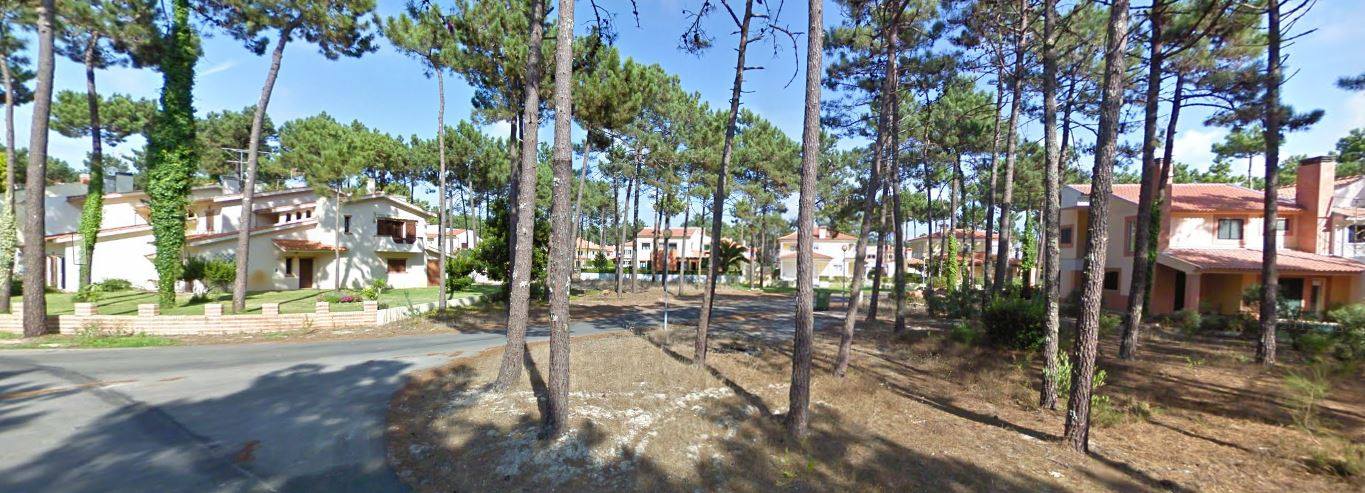
Terrain: Mix of an urban area and Sand Dunes terrain with pine forest. Very good visibility and runnability.
Map maker: Rafael Miguel (Portugal)
Course setter: Bruno Nazário and Rafael Miguel
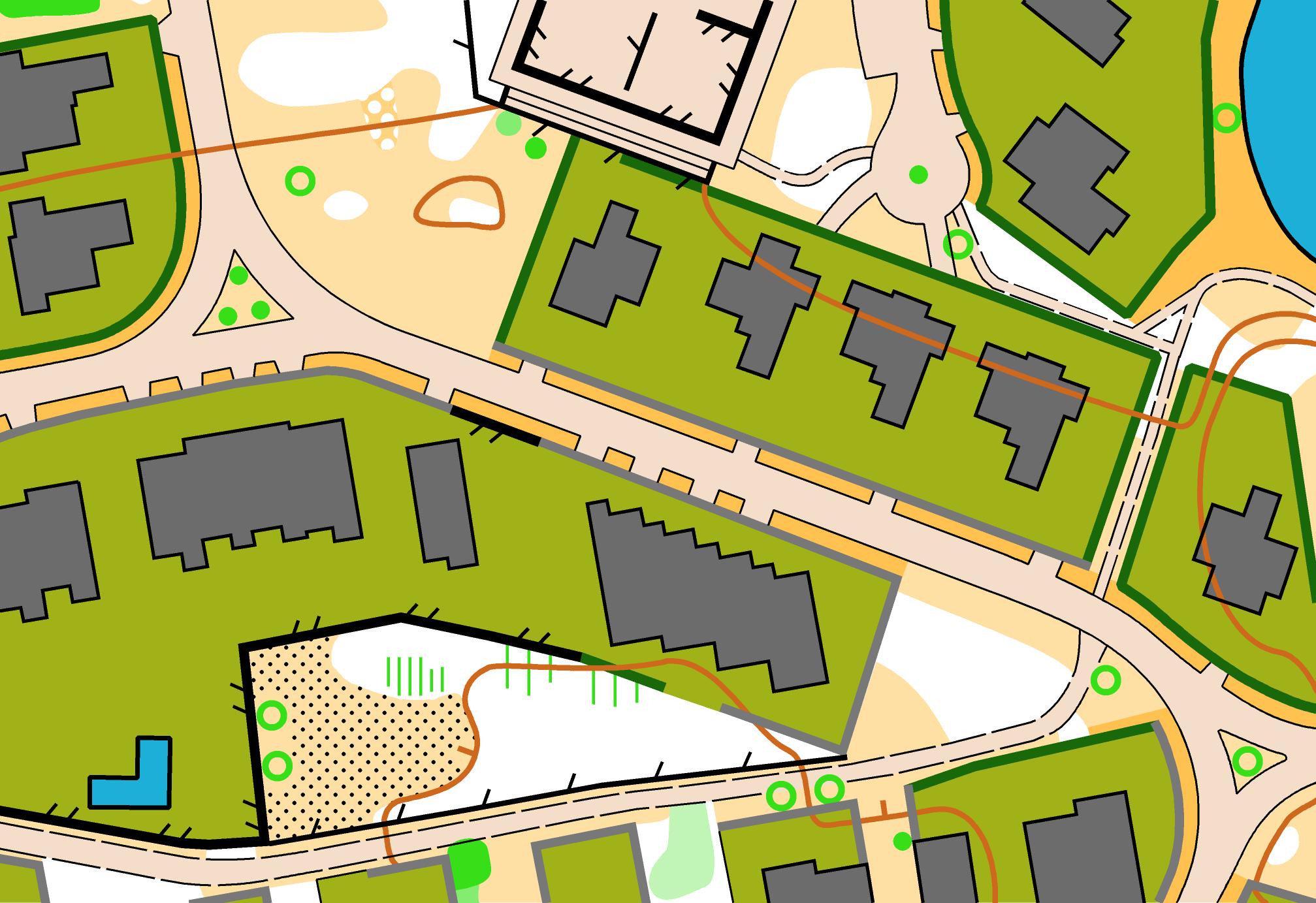
Map scale: 1:4.000
Contour Interval: 2,5m
Parking: In the places indicated by Organization.
Additional information:
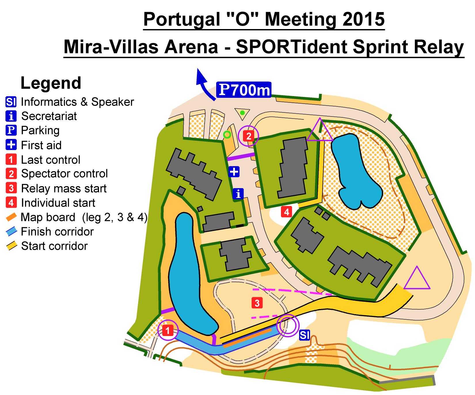
- It's possible to see spectator control from quarantine area.
- There will be a quarantine for all the athletes. Runners must enter the quarantine between 13h00 and 13h30.
- Competition Relay and Open Relay classes will start at 14h00 (Mass Start).
- All athletes will use a SPORTident Air+ given by organization.
- Secretariat during this competiton will only take care of Sprint Relay matters.
Photos: You can find some photos, schemes and preliminary distances on Facebook page.
Map sample

Arena Scheme

Terrain photos

Technical Info

Distances measured by the shortest option.


