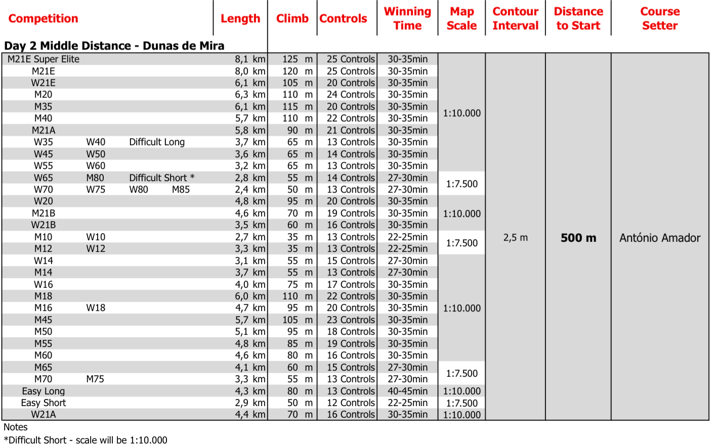
[Final technical informations should be consulted in Final Bulletin]
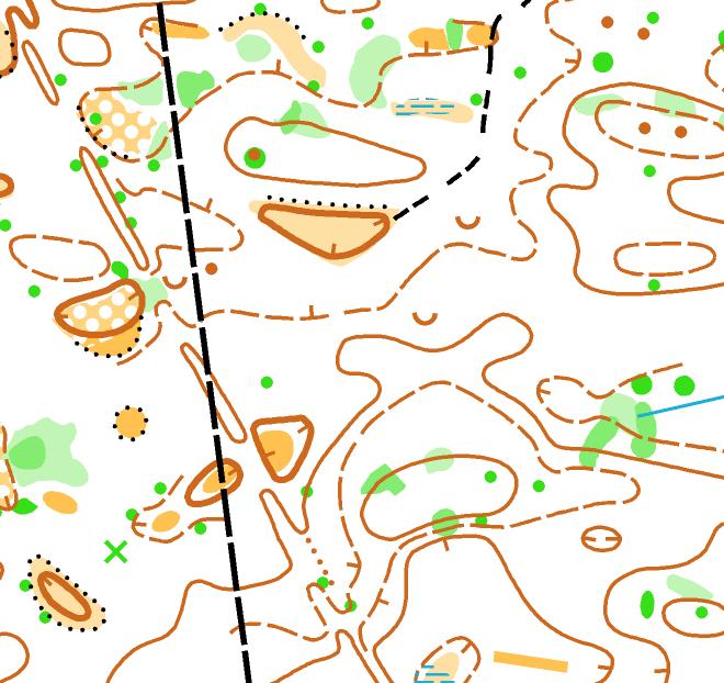
Map: Dunas de Mira (2014)
O mapa antigo pode ser consultado aqui.
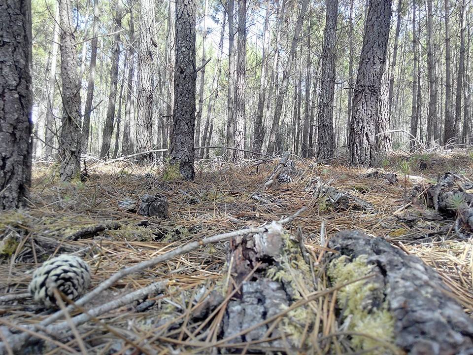
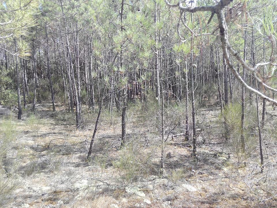
Terrain: Typical Portuguese Sand Dunes terrain, with pine forest and some very small open areas. Several small green areas/dots mostly caused by mimosas (Acacia dealbata) and some undergrowth vegetation areas. Good/very good visibility and runnability.
Map maker: Janne Weckman and Timo Joensuu (Finland)
Course setter: António Amador
Map scale: 1:10.000 and 1:7.500
Contour Interval: 2,5m
Parking: In the places indicated by Organization.
Additional Information:
- There won't be refreshment controls.
- First start: 09h00
- Starts for open and formation classes: 09h30 to 10h30
Photos: You can find some photos, schemes and preliminary distances on Facebook page.
Map Sample
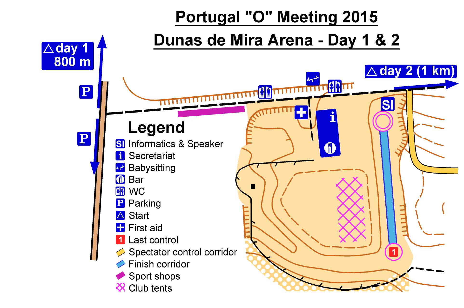
Arena Scheme
Terrain Photos
Preliminary Technical Information's
