[Final technical informations should be consulted in Final Bulletin]
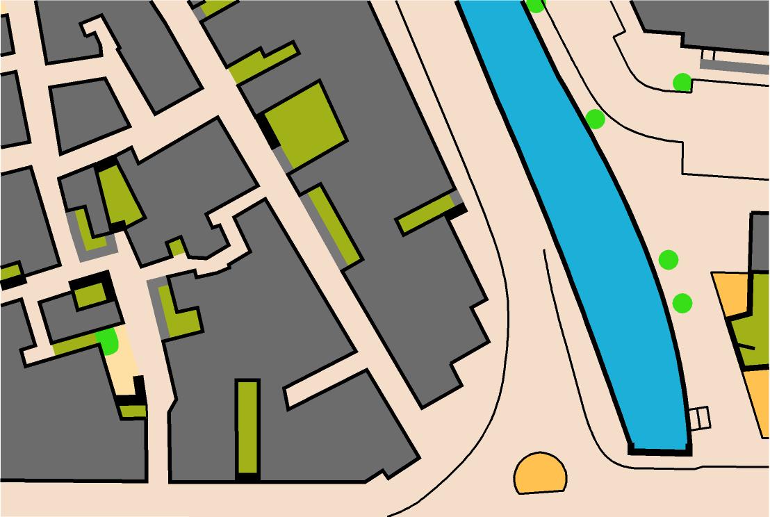
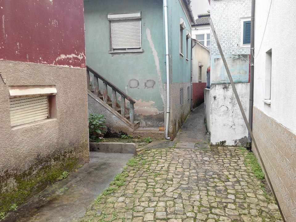
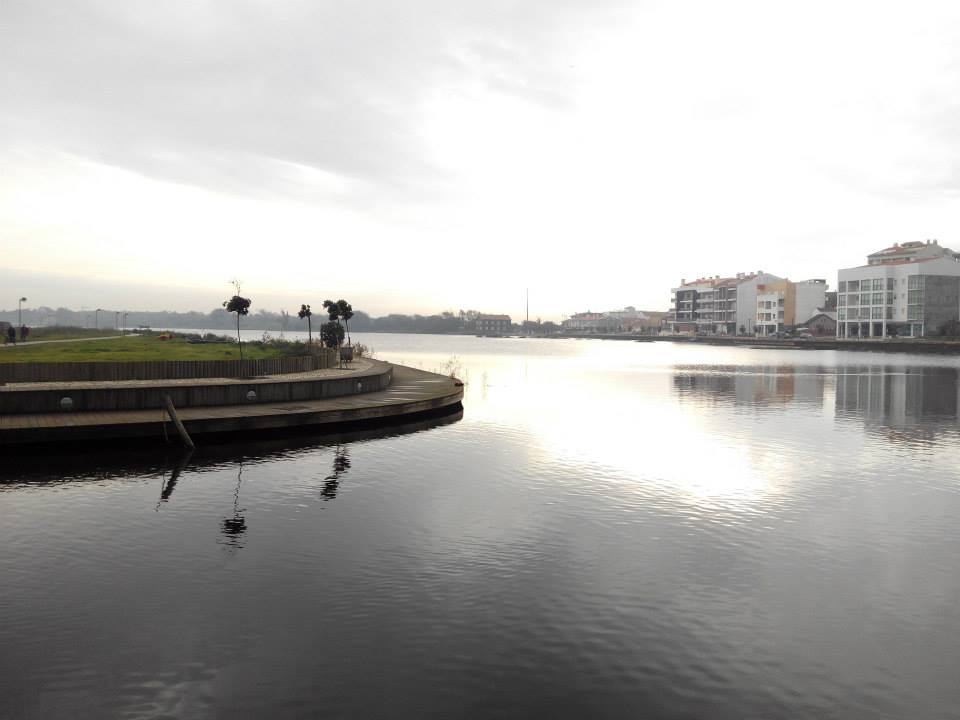
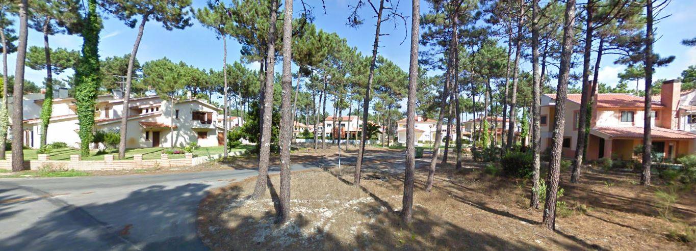
Terrain: Urban area with two distinct parts, one with narrow streets and the other very geometric.
Map maker: Rafael Miguel (Portugal)
Course setter: Rafael Miguel and Daniel Catarino
Map scale: 1:4.000
Contour Interval: 2,5m
Parking: In the places indicated by Organization.
- Runners must use a head-lamp.
- There will be spectator controls for Elite classes.
- First start: 19h00
- All athletes will use a SPORTident Air+ given by organization.
Photos: You can find some photos, schemes and preliminary distances on Facebook page.
Map Sample
Terrain Photos
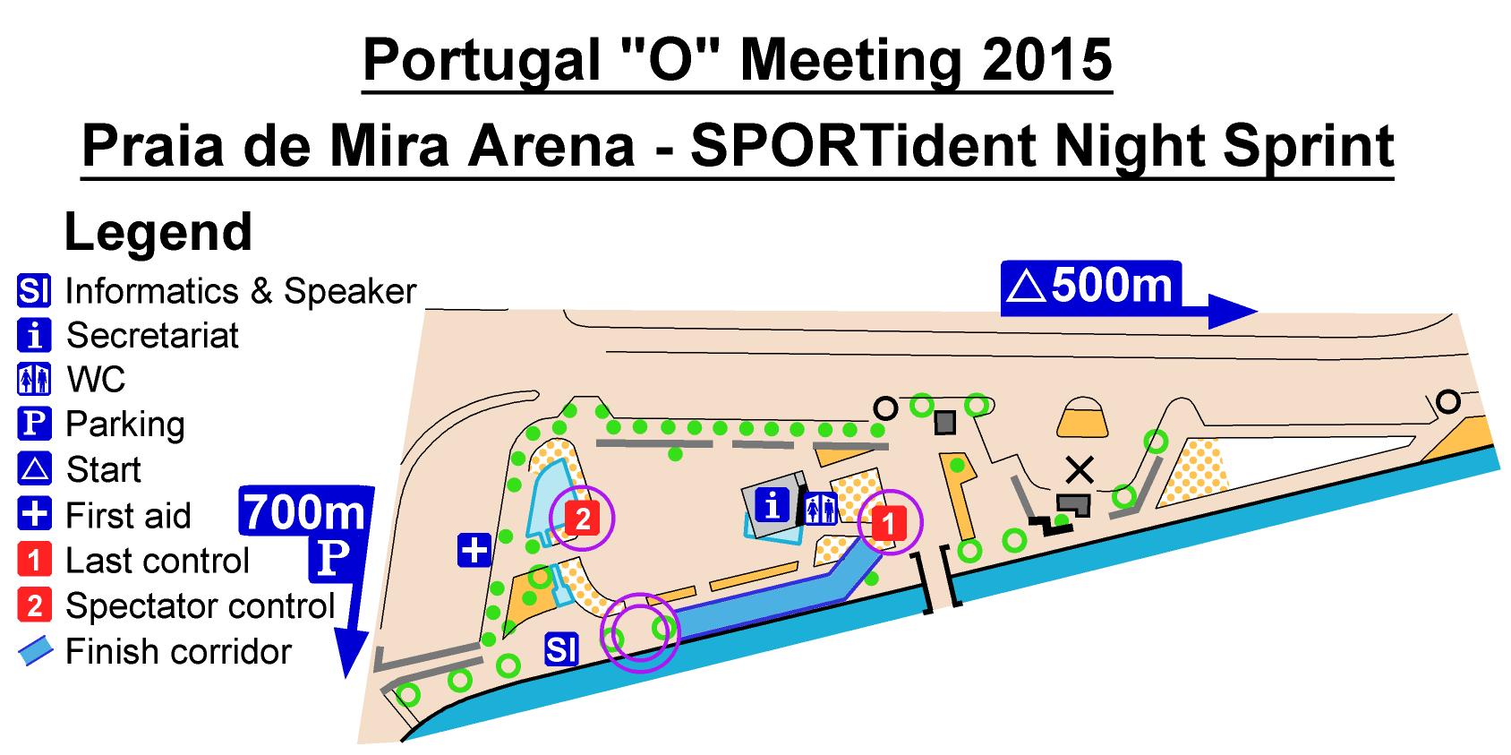
Arena Scheme
Terrain photos
Technical Info
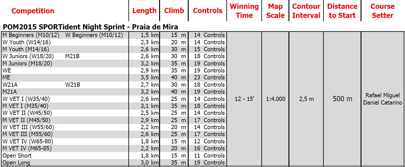
Distances measured by the shortest option.


